-
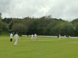
Cricket match at Winstanley
-

Traffic Light controlled junction in Winstanley
Cricket match at Winstanley
Traffic Light controlled junction in Winstanley
Other current and historical names
Location and coordinates are for the approximate centre of Winstanley within this administrative area. Geographic features and populated places may cross administrative borders.