-
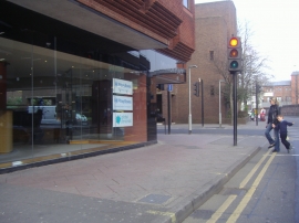
Victoria Street Windsor
-
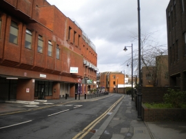
William Street, Windsor
Victoria Street Windsor
William Street, Windsor
Other current and historical names
Location and coordinates are for the approximate centre of Windsor within this administrative area. Geographic features and populated places may cross administrative borders.