-
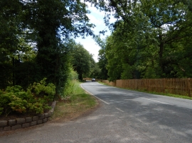
Crimp Hill near Woodside
-
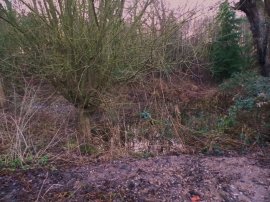
Small pond by Crimp Hill, Englefield Green
Crimp Hill near Woodside
Small pond by Crimp Hill, Englefield Green
Location and coordinates are for the approximate centre of Wild Boar Enclosure within this administrative area. Geographic features and populated places may cross administrative borders.