-
St John the Divine, Houndsfield Lane
-
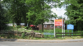
Birchy Leasowes Lane
St John the Divine, Houndsfield Lane
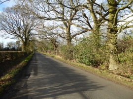
Birchy Leasowes Lane
Location and coordinates are for the approximate centre of Whitlock's End within this administrative area. Geographic features and populated places may cross administrative borders.