-
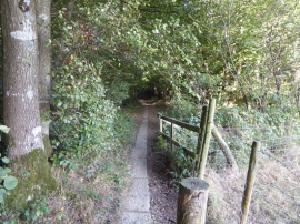
Footpath enters Whitehouse Wood
-
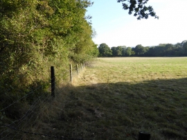
Looking along the southern edge of Whitehouse Wood
Footpath enters Whitehouse Wood
Looking along the southern edge of Whitehouse Wood
Location and coordinates are for the approximate centre of Whitehouse Wood within this administrative area. Geographic features and populated places may cross administrative borders.