-
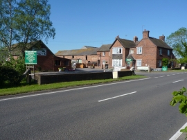
Whitegate Farm, Watling Street
-
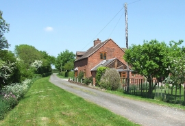
Lane and bridleway north of Kiddemore Green, Staffordshire
Whitegate Farm, Watling Street
Lane and bridleway north of Kiddemore Green, Staffordshire
Location and coordinates are for the approximate centre of White Gate Plantation within this administrative area. Geographic features and populated places may cross administrative borders.