-
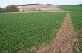
Path across a field
-
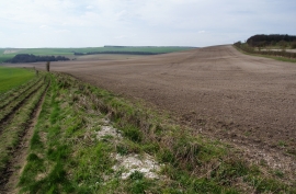
Path on Whit Combe and ploughed field
Path across a field
Path on Whit Combe and ploughed field
Location and coordinates are for the approximate centre of Whit Coombe within this administrative area. Geographic features and populated places may cross administrative borders.