-
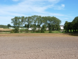
Lower Reule Farm from the bridleway to the west
-
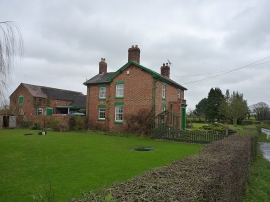
Farmhouse on the edge of Apeton
Lower Reule Farm from the bridleway to the west
Farmhouse on the edge of Apeton
Location and coordinates are for the approximate centre of Wheatcroft Covert within this administrative area. Geographic features and populated places may cross administrative borders.