-
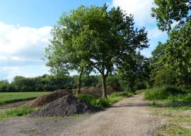
Track and footpath to the River Trent
-
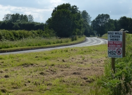
HS2 will cross here!
Track and footpath to the River Trent
HS2 will cross here!
Location and coordinates are for the approximate centre of Westfield Covert within this administrative area. Geographic features and populated places may cross administrative borders.