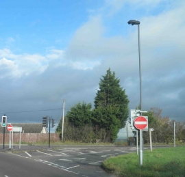
Westerleigh Hill, South Gloucestershire

« Gazetteer Entry
Upload Photo

Westerleigh Hill, South Gloucestershire

  • Built-Up Area: Westerleigh
  • Parish/Community: Westerleigh
  • Unitary Authority: South Gloucestershire
  • Region: South West
  • Category: Populated Place
  • Type: Other Settlement
  • Latitude/Longitude: 51°30'49"N 2°25'35"W
  • Eastings/Northings: 370500, 179500
  • OS Grid: ST705795
  • Mapcode Local: GBR JY.HY1T
  • Mapcode Global: VH88J.W6KZ

Location and coordinates are for the approximate centre of Westerleigh Hill within this administrative area. Geographic features and populated places may cross administrative borders.

BritishPlaceNames.uk is a Good Stuff website.