-
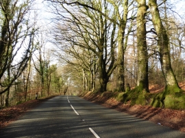
Tree-lined road near Culmhead
-
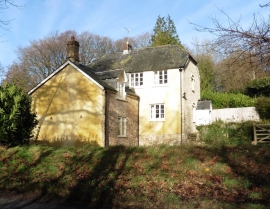
House on Widcombe Moor
Tree-lined road near Culmhead
House on Widcombe Moor
Location and coordinates are for the approximate centre of Westcombe Plantation within this administrative area. Geographic features and populated places may cross administrative borders.