-
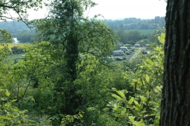
Trees in West Wood
-
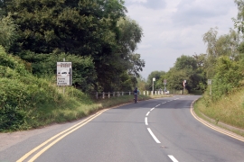
Approaching Holme Lacy turn on B4224
Trees in West Wood
Approaching Holme Lacy turn on B4224
Location and coordinates are for the approximate centre of West Wood within this administrative area. Geographic features and populated places may cross administrative borders.