-
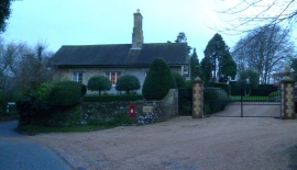
House by the gates to Upper House in West Burton
-
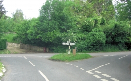
West Burton Lane junction is on the Meridian
House by the gates to Upper House in West Burton
West Burton Lane junction is on the Meridian
Other current and historical names
Location and coordinates are for the approximate centre of West Burton within this administrative area. Geographic features and populated places may cross administrative borders.