-
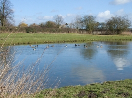
Ducks on Pond at Bossall
-
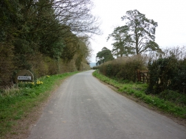
Entering Bossall, North Yorkshire
Ducks on Pond at Bossall
Entering Bossall, North Yorkshire
Location and coordinates are for the approximate centre of West Belt Wood within this administrative area. Geographic features and populated places may cross administrative borders.