-

A40 east of Broad Oak
-
Broad Oak
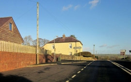
A40 east of Broad Oak
Broad Oak
Location and coordinates are for the approximate centre of Wern-Fawr Dingle within this administrative area. Geographic features and populated places may cross administrative borders.