-
White Horse Road, near Harvel
-

Wrangling Lane, Holly Hill
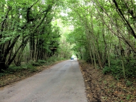
White Horse Road, near Harvel
Wrangling Lane, Holly Hill
Location and coordinates are for the approximate centre of Went Wood within this administrative area. Geographic features and populated places may cross administrative borders.