-
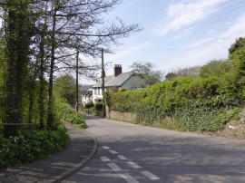
Ford Road, West Wembury
-
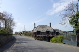
The Odd Wheel, Wembury
Ford Road, West Wembury
The Odd Wheel, Wembury
Location and coordinates are for the approximate centre of Wembury within this administrative area. Geographic features and populated places may cross administrative borders.