-

Spot the disused pit
-
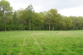
Open ground in Thorny Down Wood
Spot the disused pit
Open ground in Thorny Down Wood
Location and coordinates are for the approximate centre of Well House Copse within this administrative area. Geographic features and populated places may cross administrative borders.