-
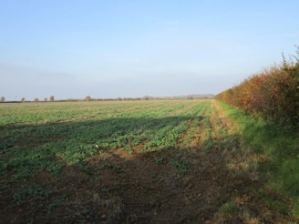
Field of oilseed rape, Welbourn Heath
-
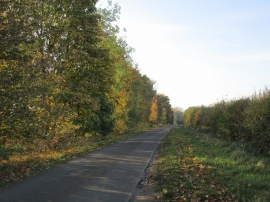
Temple Road
Field of oilseed rape, Welbourn Heath
Temple Road
Location and coordinates are for the approximate centre of Welbourn Heath within this administrative area. Geographic features and populated places may cross administrative borders.