-
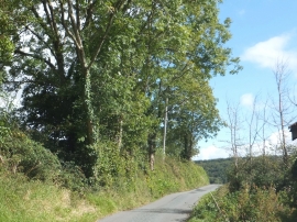
Trees lining the road at Stockham
-
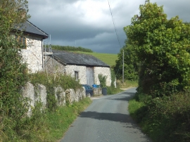
Stone barn beside road at Stockham Farm
Trees lining the road at Stockham
Stone barn beside road at Stockham Farm
Location and coordinates are for the approximate centre of Weekhayne Common within this administrative area. Geographic features and populated places may cross administrative borders.