-
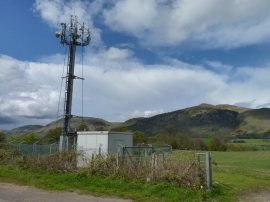
Mobile phone mast
-
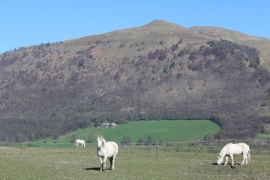
Field with horses, west of Coalsnaughton
Mobile phone mast
Field with horses, west of Coalsnaughton
Location and coordinates are for the approximate centre of Watty's Coffin Wood within this administrative area. Geographic features and populated places may cross administrative borders.