-
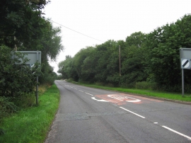
A442 road at Waters Upton near Telford, Shropshire
-
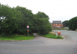
River Lane, Waters Upton near Telford, Shropshire
A442 road at Waters Upton near Telford, Shropshire
River Lane, Waters Upton near Telford, Shropshire
Location and coordinates are for the approximate centre of Waterside within this administrative area. Geographic features and populated places may cross administrative borders.