-
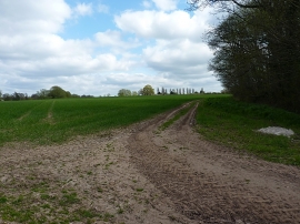
NE side of Water Eaton Coppice
-
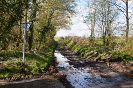
Mud on the road to Water Eaton
NE side of Water Eaton Coppice
Mud on the road to Water Eaton
Location and coordinates are for the approximate centre of Water Eaton Coppice within this administrative area. Geographic features and populated places may cross administrative borders.