-
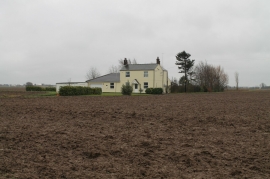
Colly's Cottage from Wargate Field Lane
-
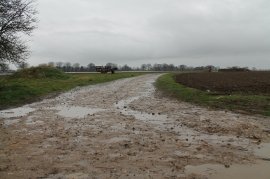
Muddy Track off Wargate Field Lane
Colly's Cottage from Wargate Field Lane
Muddy Track off Wargate Field Lane
Location and coordinates are for the approximate centre of Wargate Field within this administrative area. Geographic features and populated places may cross administrative borders.