-
Not opened recently
-
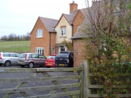
Millennium House
Not opened recently
Millennium House
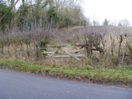
Location and coordinates are for the approximate centre of Wardshill Coppice within this administrative area. Geographic features and populated places may cross administrative borders.