-
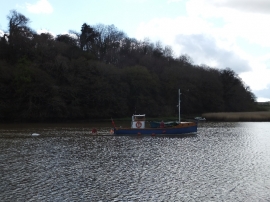
Small boat on the River Tamar at Cotehele Quay
-
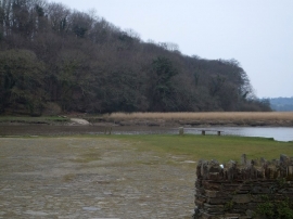
Slipway on River Tamar opposite Cotehele Quay
Small boat on the River Tamar at Cotehele Quay
Slipway on River Tamar opposite Cotehele Quay
Location and coordinates are for the approximate centre of Ward Plantation within this administrative area. Geographic features and populated places may cross administrative borders.