-
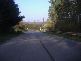
Entrance to Veolia Environmental Services, Wapsey Wood Caravan Park, Gerrards Cross
-
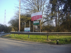
Entrance to Veolia Environmental Services, Wapsey Wood Caravan Park, Gerrards Cross
Entrance to Veolia Environmental Services, Wapsey Wood Caravan Park, Gerrards Cross
Entrance to Veolia Environmental Services, Wapsey Wood Caravan Park, Gerrards Cross
Location and coordinates are for the approximate centre of Wapsey's Wood within this administrative area. Geographic features and populated places may cross administrative borders.