-
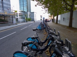
Wapping, bicycle hire
-
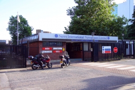
The entrance to News International
Wapping, bicycle hire
The entrance to News International
Other current and historical names
Location and coordinates are for the approximate centre of Wapping within this administrative area. Geographic features and populated places may cross administrative borders.