-
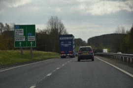
Stirling : The A9
-
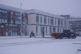
Clearing snow, Dunblane High School
Stirling : The A9
Clearing snow, Dunblane High School
Location and coordinates are for the approximate centre of Wanderwrang Wood within this administrative area. Geographic features and populated places may cross administrative borders.