-
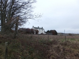
Farmhouse, Stonehill
-
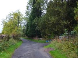
Path from Bridge of Allan to Dunblane
Farmhouse, Stonehill
Path from Bridge of Allan to Dunblane
Location and coordinates are for the approximate centre of Walters-muir Wood within this administrative area. Geographic features and populated places may cross administrative borders.