-

Walston Parish Kirk
-
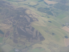
The west end of the Black Mount
Walston Parish Kirk
The west end of the Black Mount
Location and coordinates are for the approximate centre of Walston within this administrative area. Geographic features and populated places may cross administrative borders.