-
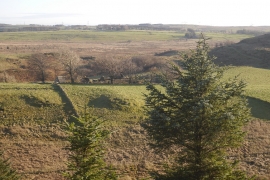
North Castlewalls
-
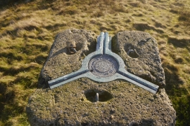
Triangulation pillar, Broadfield Hill
North Castlewalls
Triangulation pillar, Broadfield Hill
Location and coordinates are for the approximate centre of Walls Loch within this administrative area. Geographic features and populated places may cross administrative borders.