-
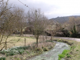
River Swift, Hurstbourne Tarrant, Hampshire
-
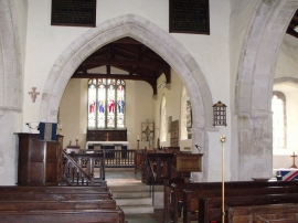
Interior of St. Peter's, Hurstbourne Tarrant, Hants
River Swift, Hurstbourne Tarrant, Hampshire
Interior of St. Peter's, Hurstbourne Tarrant, Hants
Location and coordinates are for the approximate centre of Wallop Hill Down within this administrative area. Geographic features and populated places may cross administrative borders.