-
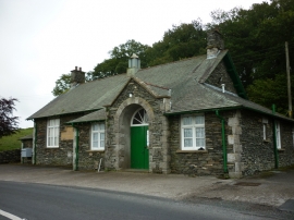
The Crook Memorial Hall, Crook
-
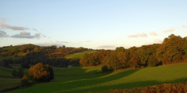
Valley north of Cockpit Hill
The Crook Memorial Hall, Crook
Valley north of Cockpit Hill
Location and coordinates are for the approximate centre of Walkerbrow Wood within this administrative area. Geographic features and populated places may cross administrative borders.