-

Rag Robin Turn near Kepwick Hall
-
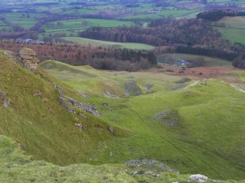
Old limestone quarry on Kepwick Bank
Rag Robin Turn near Kepwick Hall
Old limestone quarry on Kepwick Bank
Location and coordinates are for the approximate centre of Waind's Intake Plantation within this administrative area. Geographic features and populated places may cross administrative borders.