-
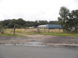
Entrance to field on Tilehouse Lane
-
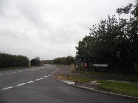
Denham Green Lane at the junction of Tilehouse Lane
Entrance to field on Tilehouse Lane
Denham Green Lane at the junction of Tilehouse Lane
Location and coordinates are for the approximate centre of Wadley Covert within this administrative area. Geographic features and populated places may cross administrative borders.