-
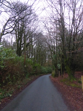
Road through woodland at Heatree
-
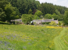
Cottages in Heathercombe
Road through woodland at Heatree
Cottages in Heathercombe
Location and coordinates are for the approximate centre of Vogwell Down within this administrative area. Geographic features and populated places may cross administrative borders.