-

Dew ponds on Saxon Down
-
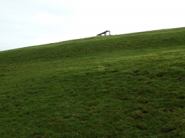
Curved bench seat on Saxon Down
Dew ponds on Saxon Down
Curved bench seat on Saxon Down
Location and coordinates are for the approximate centre of Vinegars Shaw within this administrative area. Geographic features and populated places may cross administrative borders.