-
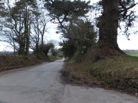
Road passing Stafford Barton with footpath sign
-
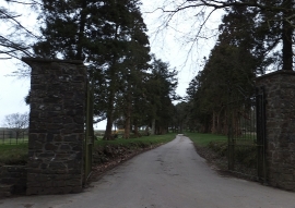
Gates and avenue to Stafford Barton
Road passing Stafford Barton with footpath sign
Gates and avenue to Stafford Barton
Location and coordinates are for the approximate centre of Viltham Copse within this administrative area. Geographic features and populated places may cross administrative borders.