-
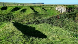
Fisherman's Hut and Nousts
-
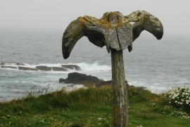
The Whale Head close to Skipi Geo
Fisherman's Hut and Nousts
The Whale Head close to Skipi Geo
Location and coordinates are for the approximate centre of Vestaber within this administrative area. Geographic features and populated places may cross administrative borders.