-

Little Shoesmiths Oast House (2)
-
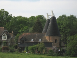
Little Shoesmiths Oast House
Little Shoesmiths Oast House (2)
Little Shoesmiths Oast House
Location and coordinates are for the approximate centre of Verridge Wood within this administrative area. Geographic features and populated places may cross administrative borders.