-
Footpath to Batt's Place
-
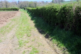
North-western boundary of uncultivated field
Footpath to Batt's Place
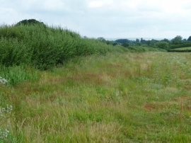
North-western boundary of uncultivated field
Location and coordinates are for the approximate centre of Venner's Water within this administrative area. Geographic features and populated places may cross administrative borders.