-
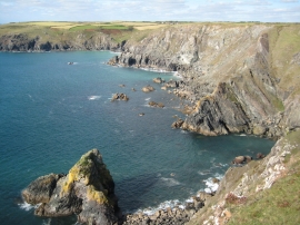
Above George's Cove
-
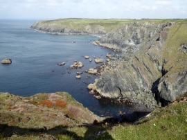
George's Cove and the cliffs to the north
Above George's Cove
George's Cove and the cliffs to the north
Location and coordinates are for the approximate centre of Velvet Rock within this administrative area. Geographic features and populated places may cross administrative borders.