-
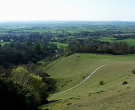
Slopes of the Cymbeline's Castle spur
-
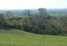
Cymbeline's Castle - from flank of Beacon Hill
Slopes of the Cymbeline's Castle spur
Cymbeline's Castle - from flank of Beacon Hill
Location and coordinates are for the approximate centre of Velvet Lawn within this administrative area. Geographic features and populated places may cross administrative borders.