-
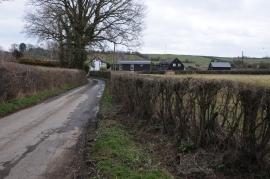
Country road near The Vault
-
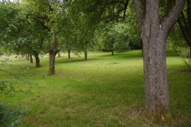
Orchard near Bodenham
Country road near The Vault
Orchard near Bodenham
Location and coordinates are for the approximate centre of The Vauld within this administrative area. Geographic features and populated places may cross administrative borders.