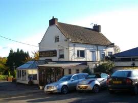
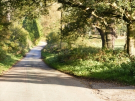
Van Diemen's Land, Staffordshire

« Gazetteer Entry
Upload Photo

Van Diemen's Land, Staffordshire

  • Parish/Community: Enville
  • District/Borough: South Staffordshire
  • County: Staffordshire
  • Region: West Midlands
  • Category: Landcover
  • Type: Forest or Wood
  • Latitude/Longitude: 52°28'9"N 2°14'1"W
  • Eastings/Northings: 384228, 285732
  • OS Grid: SO842857
  • Mapcode Local: GBR 1BV.047
  • Mapcode Global: VH91G.76JC

Location and coordinates are for the approximate centre of Van Diemen's Land within this administrative area. Geographic features and populated places may cross administrative borders.

BritishPlaceNames.uk is a Good Stuff website.