-
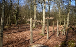
Old Posts in the Woods
-
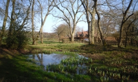
Whitewood Heath Pond
Old Posts in the Woods
Whitewood Heath Pond
Location and coordinates are for the approximate centre of Valentine Wood within this administrative area. Geographic features and populated places may cross administrative borders.