-
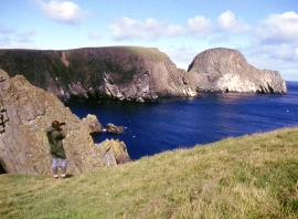
Cliffs at Vaasetter and Sheep Rock
-
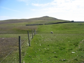
Vaasetter Hill, Fair Isle
Cliffs at Vaasetter and Sheep Rock
Vaasetter Hill, Fair Isle
Location and coordinates are for the approximate centre of Vaasetter within this administrative area. Geographic features and populated places may cross administrative borders.