-
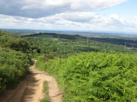
Tees Link footpath towards Flatts Lane Country Park
-
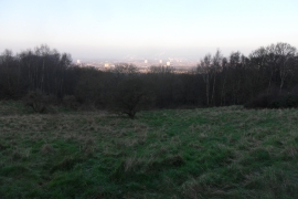
Grassland adjacent to Tees Link Path
Tees Link footpath towards Flatts Lane Country Park
Grassland adjacent to Tees Link Path
Location and coordinates are for the approximate centre of Upsall Moor within this administrative area. Geographic features and populated places may cross administrative borders.