-
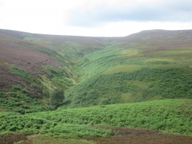
Upper Small Clough
-
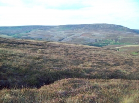
Ronksley Moor
Upper Small Clough
Ronksley Moor
Location and coordinates are for the approximate centre of Upper Small Clough within this administrative area. Geographic features and populated places may cross administrative borders.